Living in Abbotsford BC: Neighbourhoods, Prices and Everyday Life
Abbotsford is the largest city in the Fraser Valley Regional District, with its own airport, a university and a regional hospital, surrounded by farmland. Here is how its neighbourhoods compare and what homes cost on the October 2026 board numbers.
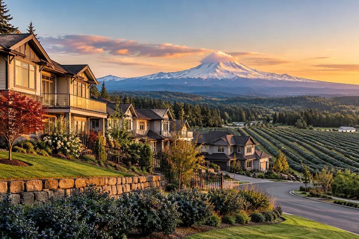
The short answer
- Abbotsford counted 153,524 people in the 2021 Census, the 5th largest city in BC, and nearly 75% of its land is in the Agricultural Land Reserve.
- October 2026 Fraser Valley Real Estate Board benchmarks: detached $1,090,500, townhouse $579,600 and apartment $370,300, each 10% to 13% below a year earlier.
- Abbotsford International Airport (YXX) passed 1 million passengers in both 2023 and 2024, with WestJet and Flair, and charges no Airport Improvement Fee.
- Highway 1 is being widened in stages, and 13 km from 264 Street to Mount Lehman Road is under construction now.
Abbotsford at a glance
Abbotsford grew 8.6% between the 2016 and 2021 censuses, and its Official Community Plan plans for a future population of about 250,000, steering 75% of new growth into existing neighbourhoods. Farming is the other half of the story: the City describes Abbotsford as Canada's leading agricultural area by employment and economic activity, and nearly 75% of its land base sits in the ALR.
| Item | Figure |
|---|---|
| Population (2021 Census) | 153,524 |
| Growth, 2016 to 2021 | 8.6% |
| Land area | 375 km² |
| Land in the ALR | Nearly 75% |
| School district | Abbotsford School District 34 |
| Hospital | Abbotsford Regional Hospital and Cancer Centre, 24 hour emergency |
| University | University of the Fraser Valley, main campus |
| Airport | Abbotsford International Airport (YXX) |
Neighbourhoods, from Bradner to Sumas Mountain
With 375 km² to cover, where you live in Abbotsford shapes your days. Listings split the city into areas such as West and East Abbotsford, and locals still use older names like Clearbrook. To see what is for sale by side of town, browse homes for sale in West Abbotsford and homes for sale in East Abbotsford.
| Area | What it is like |
|---|---|
| West Abbotsford and Clearbrook | Established residential streets on the side closest to Langley, with UFV's Clearbrook Centre; the Mount Lehman Road interchange is being expanded as part of the Highway 1 work |
| Mill Lake and City Centre | The central core around Mill Lake Park, whose 2.2 km loop trail is being widened, next to the City Centre and Historic Downtown plan areas |
| Historic Downtown | The original downtown, guided by its own neighbourhood plan |
| East Abbotsford | The east side around UFV's main campus and the UDistrict plan area, which the City and UFV planned together |
| Auguston and McKee Peak | Hillside neighbourhoods on Sumas Mountain inside the McKee Neighbourhood Plan area, where the City's background research notes steep terrain and slope hazards |
| Aberdeen and Bradner | Rural west Abbotsford: ALR farmland, acreages and hobby farms |
| Sumas Prairie | The former Sumas Lake bottom in the southeast: farmland, flooded in November 2021 and again in December 2025 |
In November 2021 the Nooksack River breached its dike south of the border and flooded the prairie, closing Highway 1 and the border and forcing more than 3,300 people from their homes. The City rated a December 2025 flood a 1 in 35 year event. The Province committed $76.6 million in February 2024 to upgrade the Barrowtown Pump Station, and the City says phase 1 of a new floodwall there is complete. Ask about any prairie property's flood history and insurance before you offer, and read the land and acreage checklist.
What homes cost in Abbotsford (October 2026)
The Fraser Valley Real Estate Board released its October 2026 figures on November 3, 2026. Abbotsford's benchmark prices were lower than a year earlier for all 3 home types, while detached sales picked up: 72 detached homes sold in October, up from 54 in October 2025, and active detached listings fell to 400 from 480. The all-types composite benchmark was $702,800, down 9.9% from a year earlier.
For buyers that means lower benchmarks and decent choice. If a townhouse or condo fits better, see Abbotsford townhomes and condos, and for the month by month picture across the region, read the monthly Fraser Valley market report.
| Home type | Benchmark, October 2026 | October 2025 | 1 year change |
|---|---|---|---|
| Detached | $1,090,500 | $1,254,600 | -13.1% |
| Townhouse | $579,600 | $644,700 | -10.1% |
| Apartment | $370,300 | $411,300 | -10.0% |
Getting around: Highway 1, transit and YXX
Highway 1 is being rebuilt through west Abbotsford. The 13 km between 264 Street and Mount Lehman Road is under construction as a $2.34 billion provincial project adding HOV and electric vehicle lanes, bus-on-shoulder lanes, truck climbing lanes, a new Bradner Road overpass and a diverging diamond interchange at 264 Street. Mount Lehman Road to Highway 11 is in procurement and detailed design, and the stretch through Sumas Prairie is in planning, so expect detours on the west side while the work goes on.
For transit, the 66 Fraser Valley Express stops at the McCallum Road and Highstreet park and rides on its way between Chilliwack and Lougheed SkyTrain station. Across the river, the West Coast Express runs 5 weekday morning trains from Mission City station to downtown Vancouver, with 5 back in the evening.
Abbotsford International Airport passed 1 million passengers in 2023 and again in 2024, the first back-to-back million-passenger years in its history, with WestJet and Flair as its airlines. It charges no Airport Improvement Fee, which the airport credits with helping airlines add capacity and offer lower fares.
Schools, UFV and health care
Abbotsford School District 34 runs neighbourhood schools plus programs of choice, including French Immersion, traditional schools, Integrated Arts, International Baccalaureate, sports academies, career programs and a virtual school. Its School Locator shows the catchment school for any address.
The University of the Fraser Valley's main and largest campus is in Abbotsford, and UFV enrolls about 15,000 students a year across its campuses. Abbotsford Regional Hospital and Cancer Centre on Marshall Road has a 24 hour emergency department. For time outside, Mill Lake's loop trail and boardwalk sit right in the middle of the city.
So, is Abbotsford a good place to live?
For many buyers, yes. You get a full-service city with an airport, a university, a regional hospital and Highway 11 north to Mission, and Abbotsford's October 2026 detached benchmark of $1,090,500 sits well below the Fraser Valley board-wide detached benchmark of $1,293,800. The trade-offs are Highway 1 construction for the next few years and flood risk on Sumas Prairie.
When I show homes in Auguston or around Mill Lake to buyers coming from Surrey or Langley, I suggest they drive Highway 1 at the times they would really commute, because the construction zones change the trip. If you are weighing the next city east, read our guide to living in Chilliwack, and if you are leaning toward a hobby farm in Bradner or Aberdeen, start with farm status and ALR rules.
Frequently asked questions
Is Abbotsford a good place to live?
For many buyers, yes. It is the largest city in the Fraser Valley Regional District, with an airport, a university, a regional hospital and a wide range of neighbourhoods, and its detached benchmark is below the Fraser Valley board-wide figure. The trade-offs are ongoing Highway 1 construction and flood risk on Sumas Prairie.
How much does a house cost in Abbotsford?
In October 2026, the Fraser Valley Real Estate Board's benchmark for a detached home in Abbotsford was $1,090,500, down 13.1% from a year earlier. Townhouses benchmarked at $579,600 and apartments at $370,300.
What are the main neighbourhoods in Abbotsford?
West Abbotsford and Clearbrook, Mill Lake and the City Centre, the Historic Downtown, East Abbotsford around UFV, Auguston and McKee Peak on Sumas Mountain, and the rural areas of Aberdeen, Bradner and Sumas Prairie.
Does Abbotsford flood?
Sumas Prairie, the former lake bottom, flooded in November 2021 and again in December 2025. Any property on low ground should be checked for floodplain status, flood history and insurance before you buy.
What airlines fly out of Abbotsford airport?
Abbotsford International Airport (YXX) is served by WestJet and Flair Airlines. It passed 1 million passengers in both 2023 and 2024 and does not charge an Airport Improvement Fee.
What school district is Abbotsford in?
Abbotsford School District 34. It offers neighbourhood schools plus programs of choice such as French Immersion, traditional schools, International Baccalaureate and sports academies, and its online School Locator shows the catchment school for any address.
Looking at acreage or a home in the Valley?
Shawn can send you current listings and what similar properties have sold for.
See Fraser Valley acreage for saleSources
- BC Stats: Municipal census populations, 1921 to 2021
- Statistics Canada: Focus on Geography, Abbotsford (2021 Census)
- City of Abbotsford: Community planning
- City of Abbotsford: AgRefresh
- City of Abbotsford: 2016 third quarter planning report
- City of Abbotsford: McKee Neighbourhood Plan background research report
- City of Abbotsford: Mill Lake pathway widening
- City of Abbotsford: Flood response and recovery
- City of Abbotsford: Barrowtown Pump Station upgrades (February 14, 2024)
- Fraser Valley Real Estate Board: October 2026 statistics package
- Province of BC: Highway 1, 264th Street to Mt. Lehman Road
- Province of BC: Fraser Valley Highway 1 Corridor Improvement Program
- BC Transit: 66 Fraser Valley Express
- TransLink: West Coast Express schedules
- City of Abbotsford: YXX back-to-back million-passenger years (January 22, 2025)
- Abbotsford International Airport: Airlines
- Abbotsford School District 34
- University of the Fraser Valley: Campuses and locations
- Fraser Health: Emergency, Abbotsford Regional Hospital
More guides
Buying Land in BC: What to Check Before You Offer on a Fraser Valley Lot or Acreage
A bare lot or acreage gives an inspector almost nothing to look at, so the real checking happens in bylaws, title documents, soil and paperwork. This is the order to work
Farm Status in BC and the Agricultural Land Reserve, Explained
Farm status and the ALR get mixed up constantly, but they are 2 separate systems. BC Assessment decides whether land is classed as a farm for property tax, and the Agricu
Living in Chilliwack BC: Is It a Good Place to Live?
Chilliwack trades a longer trip to Metro Vancouver for lower prices, mountain views and room to breathe. Here is how the neighbourhoods differ, what homes cost, and what